
📘 Learning Objectives
- Understand the structure, layers, and composition of the atmosphere
- Identify the elements of weather and climate and the instruments used to measure them
- Describe India’s four seasons and the mechanism of the southwest monsoon (Arabian Sea and Bay of Bengal branches)
- Explain the process of retreating monsoon
- Analyse the causes, effects, and mitigation of climate change and floods
- Define carbon footprint, its types, effects, and ways to reduce it
Chapter Index
1. Structure of Atmosphere
2. Composition of Atmosphere
3. Elements of Weather & Climate
4. Seasons of India
5. Indian Monsoon
6. Retreating Monsoon
7. Climate Change
8. Floods
9. Carbon Footprint
10. Glossary
11. Exercises
12. Take the Quiz
Structure and Composition of the Atmosphere
The atmosphere is the layer of gases surrounding the Earth, held in place by gravity, that protects life and regulates climate and weather. It is divided into five layers.
Q1. Which layer of the atmosphere contains the ozone layer?
Show Answer
Q2. Why is the troposphere important for human life?
Show Answer
Q3. Why does temperature decrease with height in the troposphere but increase with height in the stratosphere?
Show Answer
Q4. Which layer protects Earth from meteor impacts, and why is this important for life?
Show Answer
Composition of the Atmosphere
- Nitrogen (N₂) – 78%: most abundant gas; dilutes oxygen, prevents rapid combustion
- Oxygen (O₂) – 21%: essential for respiration and combustion
- Argon – 0.93%: an inert gas present in small quantity
- Carbon Dioxide (CO₂) – 0.04%: traps heat (greenhouse effect); used by plants in photosynthesis
- Water vapour: variable; responsible for humidity, clouds, precipitation
- Dust particles: help condensation of water vapour to form clouds
Q5. Name the gas that makes up the highest percentage of the atmosphere.
Show Answer
Q6. Explain the role of nitrogen in the atmosphere.
Show Answer
Q7. Why is carbon dioxide, despite being only 0.04% of the atmosphere, so significant for climate?
Show Answer
Q8. How do dust particles contribute to weather processes?
Show Answer
Elements of Weather and Climate
The main elements are Temperature, Atmospheric Pressure, Wind, Humidity, and Precipitation, measured using these instruments:
- Temperature — measured by a Thermometer
- Atmospheric Pressure — measured by a Barometer
- Wind direction — measured by a Wind vane; Wind speed — measured by an Anemometer
- Humidity — measured by a Hygrometer
- Precipitation — measured by a Rain gauge
Local Winds and their Impacts
Local winds blow over a small area due to differences in temperature and air pressure caused by local features such as mountains, deserts, and water bodies. They are usually seasonal or occur at specific times of day.
- The Loo: a hot, dry summer wind over northern India and Pakistan, raising temperatures and sometimes causing heatstroke and crop damage
- The Chinook wind: a warm, dry wind down the eastern Rocky Mountains in North America that rapidly melts snow, benefiting agriculture but sometimes causing discomfort like headaches
- The Foehn wind: produces similar warming effects in the Alps in Europe
- Sea breeze and land breeze: coastal areas experience sea breezes during the day and land breezes at night, moderating temperatures and sometimes bringing rainfall
Local winds can have positive impacts (improving farming conditions, regulating temperature) and negative impacts (health problems, drought, crop damage).
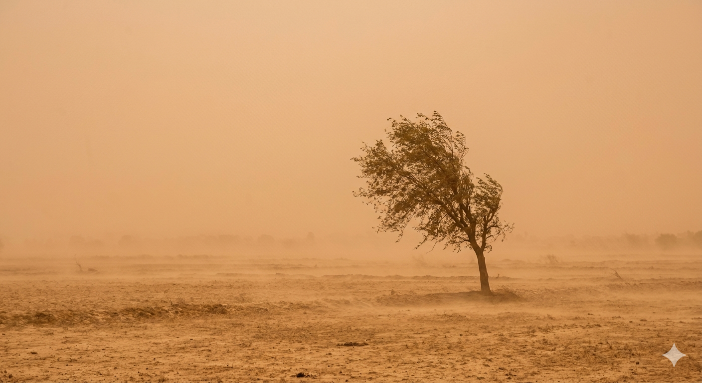
The Loo — a hot, dry summer wind over northern India
Q9. Which element of weather is measured using a barometer?
Show Answer
Q10. What are mango showers?
Show Answer
Q11. Why do coastal areas experience a more moderate climate compared to interior regions?
Show Answer
Q12. Compare the impact of the Loo and the Chinook wind on human activity.
Show Answer
Seasons of India
India experiences four main seasons: Hot Weather Season, Cold Weather Season, Advancing Monsoon (Southwest Monsoon), and Retreating Monsoon.
1. Hot Weather Season (March to May)
- Characterised by rising temperature and falling air pressure
- The Loo, strong hot, dusty, and dry winds, blow during the day over northern and north-western India
- Mango showers occur towards the end of this season in the south, helping ripen mangoes
2. Cold Weather Season (mid-November to February)
- Sets in north India in mid-November and prevails till February
- North-east trade winds prevail over the country, blowing from land to sea, causing most parts of India to experience a dry season
Q13. In which months does India experience the hot weather season?
Show Answer
Q14. State any two differences between weather and climate.
Show Answer
Q15. Why do north-east trade winds bring dry conditions to most of India during winter?
Show Answer
The Indian Monsoon
The southwest monsoon enters India in two branches: the Arabian Sea Branch and the Bay of Bengal Branch.
Characteristics of the Bay of Bengal Branch
- This branch is naturally directed towards parts of southeast Bangladesh and coastal Myanmar, to be deflected later
- This deflection occurs due to the Arakan Hills along Myanmar’s coast; a major part enters West Bengal and Bangladesh from the south and southeast
- Low temperature in northwest India causes the branch to split into two — one moves westward, the other moves to the north and northeast India
- The westward branch reaches the Punjab Plains along the Ganga Plains, while the other branch moves up the Brahmaputra valley causing heavy and widespread rains in northeastern India
- Mawsynram (crest of southern range of Khasi Hills) — highest average annual rainfall in the world (479 inches)
- Cherrapunji (16 km east of Mawsynram) — recorded a world record 1032 inches of rain in 1861; average rainfall of 450 inches during July–September
The relief of the country determines rainfall distribution: the Western Ghats receive over 250 cm, while the leeward side gets less than 50 cm. Northern Plains experience decreased rainfall moving westward — Kolkata: 120 cm, Patna: 102 cm, Prayagraj: 91 cm, Delhi: 56 cm.
The monsoon has ‘breaks’ in rainfall causing wet and dry spells, caused by frequent tropical depressions forming at the head of the Bay of Bengal that follow the monsoon trough’s axis. When the axis is over the plains, the region gets ample rainfall; when it shifts closer to the Himalayas, dry spells increase and can cause floods in mountainous catchment areas.
Q16. Which hills deflect the Bay of Bengal branch of the monsoon?
Show Answer
Q17. Why does the Western Ghats region receive heavy rainfall while its leeward side receives much less?
Show Answer
Q18. Explain why the monsoon trough’s shifting axis causes both heavy rainfall and dry spells in different years.
Show Answer
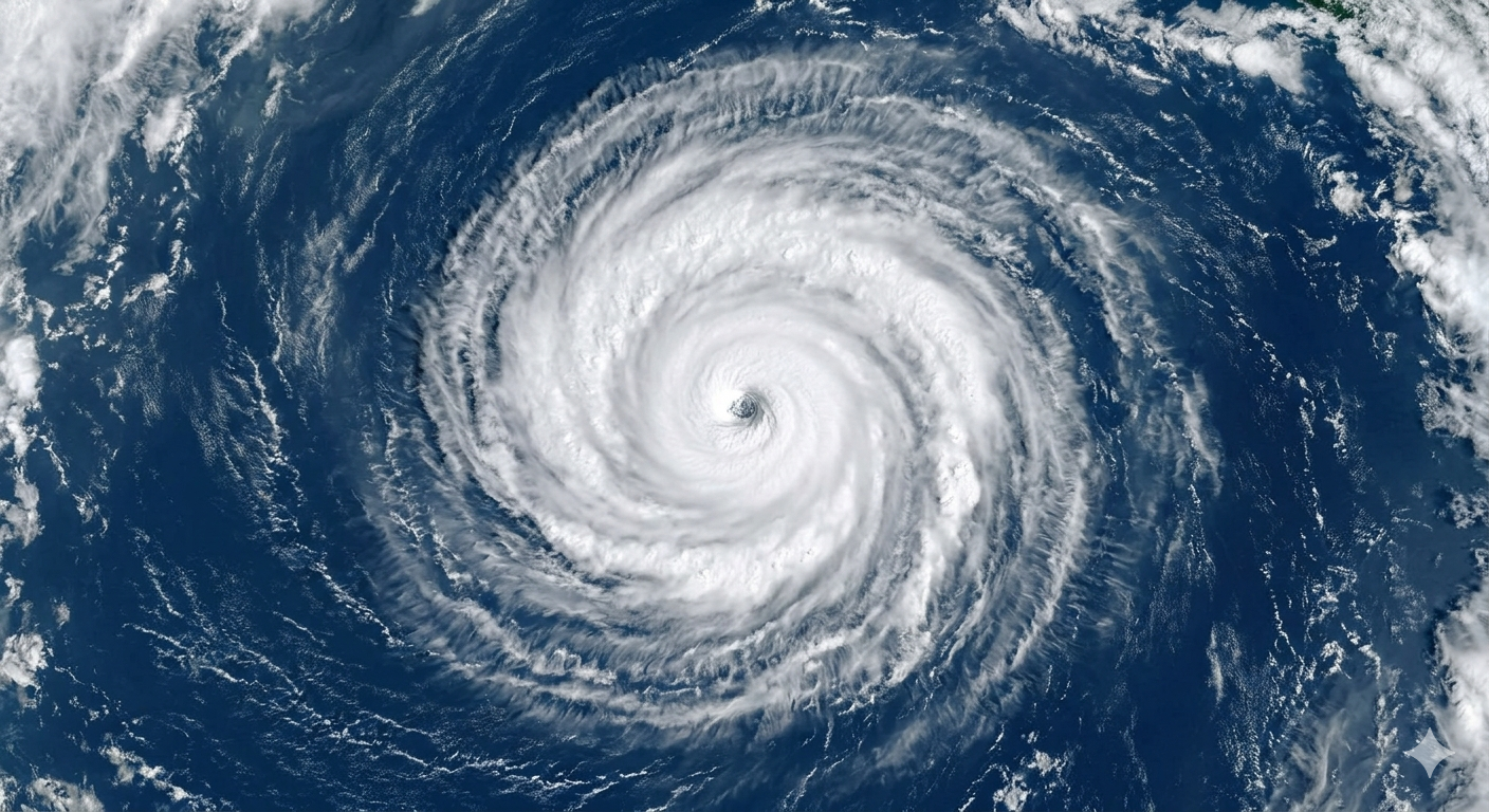
Tropical depressions and cyclones forming over the Bay of Bengal influence monsoon rainfall
Retreating Monsoon (Transition Season)
The monsoon trough of low pressure grows weaker by October–November and is slowly replaced by high pressure. The monsoon’s outreach becomes unsustainable and gradual withdrawal begins — this is the ‘retreat of monsoon’. By the start of October, monsoons withdraw from the Northern Plains.
- Period of transition occurs in October–November
- Clear skies and rising temperature are prominent features
- During the day temperature remains high, but nights are pleasant and cool; the land remains moist
- High temperature and humidity make daytime weather oppressive — known as October Heat, replaced in late October by low temperature, especially in Northern India
The northwestern India’s low pressure conditions move to the Bay of Bengal area by early November, caused by cyclonic depressions originating over the Andaman Sea. Depressions crossing the eastern coast cause heavy rains; destructive tropical cyclones strike the densely populated Godavari, Krishna and Kaveri deltas, also reaching Odisha, West Bengal, and Bangladesh coasts. Most rainfall of the Coromandel Coast is a consequence of these depressions and cyclones.
Withdrawal begins around 1 Sept from northwest India (Srinagar, Chandigarh) and progresses southward through 1 Oct (Delhi), 15 Oct, 1 Nov, 15 Nov, reaching the southern tip of India (Thiruvananthapuram) by 15 Dec. The branch then enters the Ganga Plains to meet the Bay of Bengal branch; another sub-branch hits the Saurashtra peninsula and Kachchh by mid-June.
Distribution of Precipitation
- India receives over 400 cm annual rainfall on parts of the western coast and northeastern India
- Western Rajasthan, Punjab, Haryana and Gujarat record only 60 cm
- Low rainfall also recorded in the interiors of the Deccan Plateau east of the Sahyadris, and around Leh in Jammu and Kashmir
- The rest of India gets moderate rainfall; snowfall is restricted to the Himalayan region
- Regions of low rainfall (Rajasthan, Gujarat, leeward Western Ghats) have high rainfall variability — prone to droughts, while high-rainfall areas are prone to floods
Monsoons — A Unifying Bond
The Himalayas act as protective barriers stopping cold winds from Central Asia, allowing northern India to experience uniform high temperature. The sea’s influence from three sides moderates temperature on the peninsular plateau. The monsoon is a unifying bond — it influences agriculture (the occupation of most Indians), festivals, lifestyle, dances, music, paintings, and literature across the country.
Q19. State one main feature of the retreating monsoon.
Show Answer
Q20. Mention two characteristics of the retreating monsoon season in India.
Show Answer
Q21. “Monsoon is the lifeline of India.” Justify this statement.
Show Answer
Climate Change
Climate change is one of the most important environmental issues facing the world today — the long-term change in Earth’s average temperature and weather patterns, mainly caused by human activities such as burning fossil fuels and deforestation, which increase greenhouse gases in the atmosphere.
Causes of Climate Change
- Burning fossil fuels: coal, oil, and natural gas burned for electricity, transport, and industry release greenhouse gases like CO₂, which trap heat
- Deforestation: trees absorb CO₂; cutting/burning forests releases stored carbon and removes future absorption capacity
- Industrial and agricultural activities: factories emit greenhouse gases; farming produces methane (from livestock) and nitrous oxide (from fertilisers), both powerful heat-trapping gases
- Waste and overconsumption: landfills emit methane; producing goods at large scale increases energy use and emissions
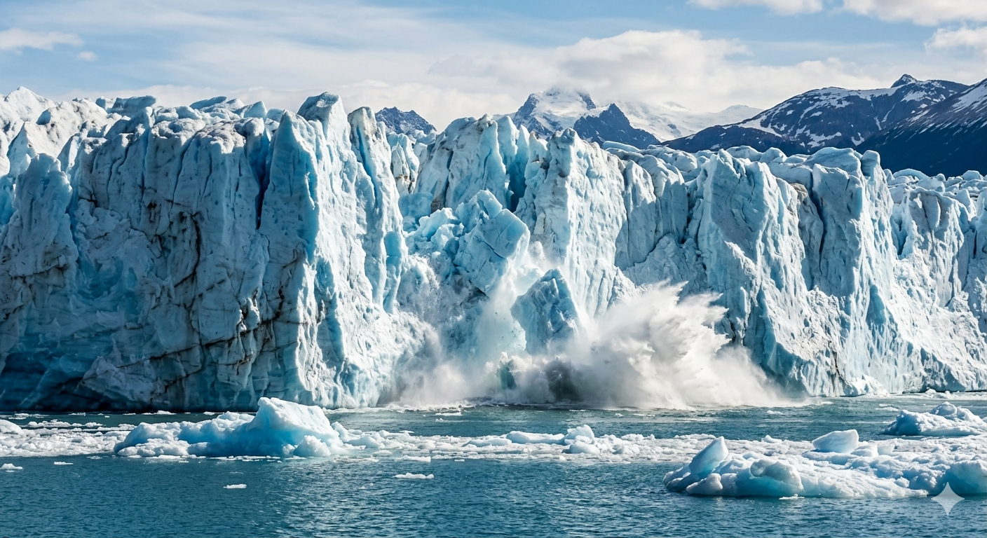
Melting of ice due to high temperature
Effects of Climate Change
- Rising global temperatures — leading to hotter days and more frequent heatwaves
- Melting ice and rising sea levels — glaciers and polar ice caps are melting, threatening coastal cities and islands
- More extreme weather — increased intensity and frequency of storms, floods, droughts, and wildfires
- Harm to ecosystems and wildlife — many species struggle to adapt quickly, leading to habitat loss and extinction
- Impacts on humans — food and water shortages, health problems (heat stress, spread of diseases), economic losses, and climate-driven migration
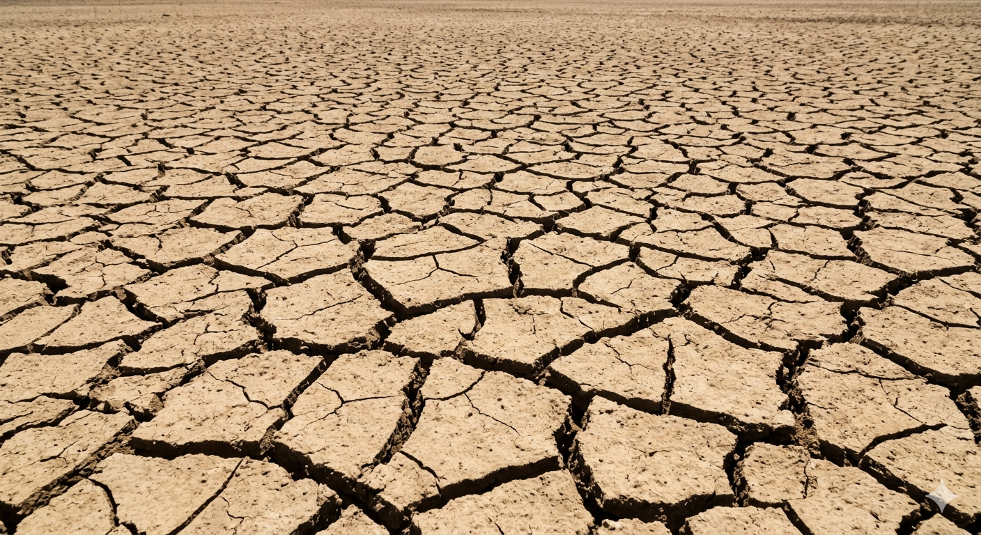
Droughts, wildfires, storms, and floods are consequences of climate change
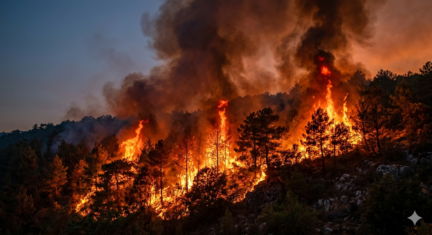
Wildfires increase in frequency and intensity due to climate change
The good news is that reducing emissions, protecting forests, and switching to renewable energy can slow its impacts.
Q22. Which greenhouse gas is mainly released by burning fossil fuels?
Show Answer
Q23. Give two human activities responsible for climate change.
Show Answer
Q24. Analyse the causes and consequences of climate change, highlighting its impact on weather patterns.
Show Answer
Floods
Floods are inundations of land with water caused by rains, rivers overflowing their banks, increase in reservoirs of water, winds, cyclones, tsunami, melting of glaciers, and sea tides. A violent splash of water from a breach or burst is called a flash flood.
Key Terms
- Drainage basin: the area drained by the waters of a river
- Flood plain: the flattish area alongside river channels covered by water during floods
- Catchment area: the area in the upper course of the river that catches rainfall and feeds the river
- Tributary: a stream or smaller river joining the main river
- Origin: the point from where the river begins its course
- Mouth: the point or place where the river joins the sea
- Water divide: the high relief feature that separates two drainage basins
- Run off: the surface flow of water
Onset Type
Floods are regarded as ‘slow movements’ in terms of their origin but not in terms of their happening. Most floods are preceded by heavy rainfall and melting of snow over several days — this period is known as the ‘probability’ period. Globally, statistics reveal floods have a probability of occurring once during a ten-year period, with milder floods possibly every two years in between. Even floods from cyclones or tsunamis, producing storm surges, have a certain probability period.
Warning
The Central Water Commission (CWC) has about 132 forecasting stations covering almost all interstate flood-prone rivers, issuing over 6000 forecasts annually. Hydrographs (charts showing lag-time between heavy rainfall and peak discharge) help forecast floods and issue warnings via TV and computer networks. The interval between heavy rainfall and flooding is called lag-time.
Vulnerability
- Settlements in low-lying flood plain areas (known as peneplain) at the mouth of a river, or on steep slopes, are at risk
- Houses built on stilts near the mouth of a river
- Industries and multistoreyed housing in flood plains are vulnerable and are also a cause of floods, since surfaced roads, drains, and parking lots prevent water from seeping underground
Typical Effects
- Panic: weak physique, old people, children, and pregnant mothers die more due to panic
- Disease: decomposition of organic matter in floodwater leads to epidemics, viral infections, malaria, and diarrhoea
- Physical damage: sediments transported by floods damage standing crops; houses, dams, and animal shelters are at risk
- Soil erosion: severe floods cause erosion even in areas where rivers normally deposit sediment, especially due to non-degradable materials washed out
Main Mitigation Strategies
Non-Structural Mitigation
- Mapping: most major rivers, flood plains, basins, and water divides are fully mapped using computer databases for flood control
- Land-Use Control: reduces danger to life and property; no major development should be permitted in flood-prone areas; hospitals should be in safer, elevated areas
- Flood Forecasting and Warning: better facilities for forecasting reduce the impact of floods
Structural Mitigation
- Straightening of channels: artificial straightening helps control floods, since meanders are more open to flooding
- Dikes and levees: artificial embankments to divert flood water in a particular direction
- Stream behaviour: engineering structures divert water courses; zoning and flood-tracts are earmarked as a non-structural strategy too
- Flood proofing: artificial reservoirs with sluice gates, and sand bags to block water flow
- Constructing platforms and elevations: during the Indus Valley Civilisation, houses were built on elevated platforms as a safety measure; many Nordic countries below sea level still use raised platforms today
Dikes — artificial embankments used for flood mitigation
Levees diverting river floodwater in a particular direction
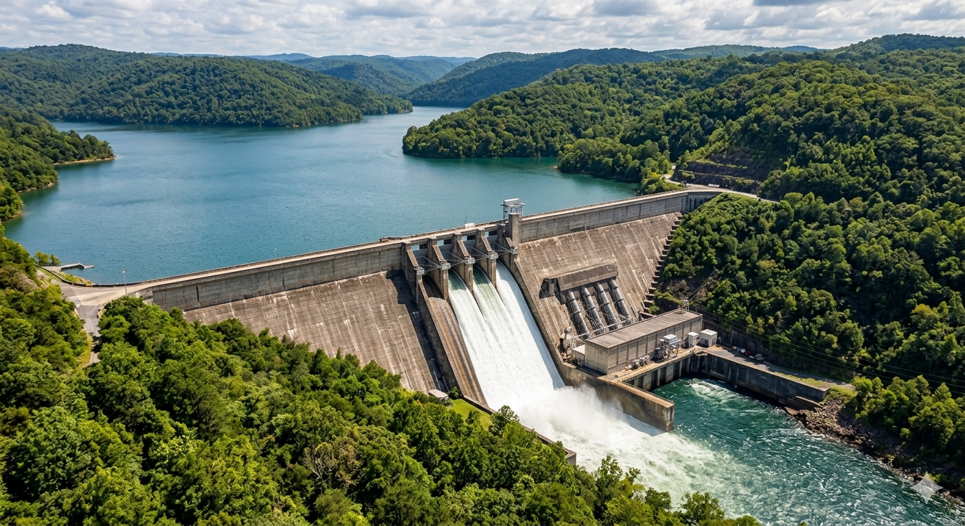
A dam creates a reservoir to contain floodwater and can also generate hydroelectric power
Q25. What is the immediate cause of floods in most regions?
Show Answer
Q26. Explain how deforestation contributes to floods.
Show Answer
Q27. Explain the major causes of floods in India and suggest effective flood management measures.
Show Answer
Carbon Footprint
Human activities have greatly increased the amount of greenhouse gases in the atmosphere. One important way to understand this impact is through the concept of carbon footprint.
Meaning of Carbon Footprint
A carbon footprint is the total amount of greenhouse gases, mainly carbon dioxide (CO₂), released into the atmosphere due to human activities. It is usually measured in tonnes of carbon dioxide equivalent (CO₂e). In simple words, it shows how much we contribute to air pollution and global warming through our daily actions.
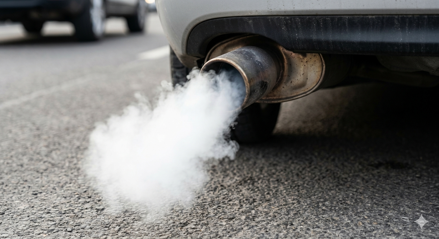
Pollution from vehicle exhaust contributes to carbon footprint
Sources of Carbon Footprint
- Burning of fossil fuels (coal, petroleum, natural gas)
- Transportation (cars, buses, airplanes)
- Electricity generation in thermal power plants
- Industries and factories
- Deforestation
- Use of household appliances like air conditioners and refrigerators
- Agriculture and livestock farming
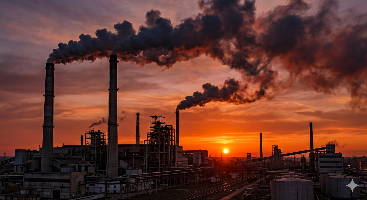
Factory smoke polluting the air
Types of Carbon Footprint
Direct Carbon Footprint — emissions from activities we directly control, such as driving vehicles, burning fuels at home, using LPG or petrol.
Indirect Carbon Footprint — emissions produced during manufacturing and transportation of goods/services we use, such as clothes, electronic items, and food products.
Effects of High Carbon Footprint
- Global warming
- Climate change
- Melting of glaciers and polar ice
- Rise in sea level
- Increase in extreme weather events
- Loss of biodiversity
- Health problems due to air pollution
Ways to Reduce Carbon Footprint
Reducing carbon footprint is a shared responsibility. Steps individuals can take:
- Use public transport, cycling, or walking
- Save electricity and use energy-efficient appliances
- Switch to renewable energy sources
- Reduce, reuse, and recycle materials
- Avoid unnecessary use of plastic
- Plant more trees
- Consume local and seasonal products
Role of Students in Reducing Carbon Footprint
- Spreading awareness
- Practicing energy conservation at home
- Participating in tree plantation drives
- Supporting eco-friendly habits at home and school
Role of Students in Reducing Carbon Footprint
- Spreading awareness
- Practicing energy conservation at home
- Participating in tree plantation drives
- Supporting eco-friendly habits at home and school
Q28. What does the term “carbon footprint” refer to?
Show Answer
Q29. Suggest two ways by which individuals can reduce the amount of carbon footprint.
Show Answer
Q30. Explain the concept of carbon footprint and examine its role in global climate change.
Show Answer
Glossary
| Atmosphere | The layer of gases surrounding Earth, held by gravity, that protects life and regulates climate and weather. |
| Natural Vegetation | A plant population that has evolved naturally without human assistance. |
| Solar Radiation | Energy emitted by the Sun in the form of light and heat that reaches Earth. |
| Ultraviolet Radiation | Invisible electromagnetic energy from the Sun that can affect living organisms and Earth’s atmosphere. |
| Food Chain | A linear sequence of organisms through which energy and nutrients pass as one organism eats another. |
| Ecosystem | A community of living organisms interacting with each other and their physical environment. |
| Combustion | A chemical process in which a substance reacts with oxygen, releasing heat and light. |
| GPS | Global Positioning System — a satellite-based navigation system providing location and time information anywhere on Earth. |
| Photosynthesis | The process by which green plants use sunlight, carbon dioxide, and water to produce food (glucose) and oxygen. |
| pH | A measure of how acidic or basic a substance is, on a scale from 0 to 14. |
| Marine Life | All plants, animals, and other organisms that live in oceans, seas, and saltwater environments. |
| Condensation | The process by which water vapour in the air changes into liquid water. |
| Thunderstorm | A weather event characterised by heavy rain, lightning, thunder, and often strong winds. |
| Greenhouse Gas | A gas in the atmosphere that traps heat, contributing to the warming of Earth’s surface. |
| Extinction | The permanent disappearance of a species from the Earth. |
| Deforestation | The large-scale clearing of forests, usually by humans, for agriculture, development, or other activities. |
| Global Warming | The gradual increase in Earth’s average temperature caused mainly by the buildup of greenhouse gases in the atmosphere. |
🔑 Key Learnings — Full Chapter Summary
- India experiences four main seasons: Hot Weather, Cold Weather, Advancing Monsoon, and Retreating Monsoon
- The Loo are strong, hot, dusty, and dry winds blowing over northern and north-western India in summer
- The Himalayas act as protective barriers stopping cold Central Asian winds from entering the subcontinent
- South-west monsoon crosses the equator and brings abundant moisture to the subcontinent
- The bulk of rainfall of the Coromandel Coast is derived from depressions and cyclones
- Climate change is one of the most important environmental issues facing the world today, driven mainly by human activity
- Floods are regarded as ‘slow movements’ in terms of origin but not in terms of their happening
- A carbon footprint is the total amount of greenhouse gases released due to human activities; reducing it is a shared responsibility
Exercises
A. Multiple Choice Questions
1. Which of the following statements is/are true regarding Stratosphere?
I. Its temperature increases with height due to absorption of ultraviolet rays.
II. It contains the ozone layer.
III. It is the coldest layer of the atmosphere.
IV. It helps in radio communication by reflecting radio waves.
(a) Only I (b) Only II (c) Both I and II (d) Both III and IV
Show Answer
2. Identify the given instrument (a circular dial gauge). (a) Rain gauge (b) Thermometer (c) Barometer (d) Anemometer
Show Answer
3. Statement I: Poor drainage systems cause flood. Statement II: Construction of dams, embankments and reservoirs can prevent flood. (a) Both correct (b) Both incorrect (c) I correct, II incorrect (d) I incorrect, II correct
Show Answer
4. Most parts of India receive rainfall during which months? (a) Dec–Feb (b) Mar–May (c) Jun–Sep (d) Oct–Nov
Show Answer
5. In which months does the Tamil Nadu coast get most of its rainfall? (a) Dec–Feb (b) Mar–May (c) Jun–Sep (d) Oct–Nov
Show Answer
6. Which place has cooler climate even during summers? (a) Allahabad (b) Mumbai (c) Mussoorie (d) Amritsar
Show Answer
7. Why does Pune receive much lesser rainfall than Mumbai? (a) Leeward side of Western Ghats (b) Windward side (c) Central India (d) Far from sea
Show Answer
8. Match: I. Above 400 cm, II. 100–200 cm, III. Below 20 cm, IV. 60–100 cm with A. Hyderabad, B. Jaisalmer, C. Shillong, D. Nagpur. (a) A-I,B-II,C-III,D-IV (b) A-III,B-I,C-II,D-IV (c) A-IV,B-III,C-II,D-I (d) A-IV,B-I,C-II,D-III
Show Answer
B. Fill in the Blanks
1. A ______ is the total amount of greenhouse gases, mainly carbon dioxide released into the atmosphere due to human activities.
Show Answer
2. GPS stands for ______.
Show Answer
3. The loo are strong hot and dry ______.
Show Answer
4. The ______ are protective barriers that stop the cold winds from Central Asia from entering the subcontinent.
Show Answer
C. Very Short Answer Type Questions
1. Which layer of the atmosphere contains the ozone layer?
Show Answer
2. Name the gas that makes up the highest percentage of the atmosphere.
Show Answer
3. Which element of weather is measured using a barometer?
Show Answer
4. What is the normal duration of the southwest monsoon in India?
Show Answer
5. Which season in India is known as the “hot weather season”?
Show Answer
6. Name the process by which water vapour turns into clouds.
Show Answer
7. What term is used for long-term average weather conditions of a place?
Show Answer
8. Which greenhouse gas is mainly released by burning fossil fuels?
Show Answer
9. What is the immediate cause of floods in most regions?
Show Answer
10. What does the term “carbon footprint” refer to?
Show Answer
D. Short Answer Type Questions
1. State any two differences between weather and climate.
Show Answer
2. Why is the troposphere important for human life?
Show Answer
3. Explain the role of nitrogen in the atmosphere.
Show Answer
4. How does altitude affect temperature?
Show Answer
5. Mention two characteristics of the retreating monsoon season in India.
Show Answer
6. Why do coastal areas experience moderate climate?
Show Answer
7. Give two human activities responsible for climate change.
Show Answer
8. Explain how deforestation contributes to floods.
Show Answer
9. State two impacts of global warming on India’s climate.
Show Answer
10. Suggest two ways individuals can reduce carbon footprint.
Show Answer
E. Long Answer Type Questions
1. Describe the structure and composition of the atmosphere and explain how each layer supports life on Earth.
Show Answer
2. Explain the elements of weather and analyse how they collectively influence the climate of a region.
Show Answer
3. Describe the major seasons of India and explain the climatic conditions associated with each season.
Show Answer
4. Explain the mechanism of the southwest monsoon in India with suitable reasons for its importance.
Show Answer
5. “Monsoon is the lifeline of India.” Justify this statement with examples.
Show Answer
6. Analyse the causes and consequences of climate change, highlighting its impact on weather patterns.
Show Answer
7. Explain the major causes of floods in India and suggest effective flood management measures.
Show Answer
8. Explain the concept of carbon footprint and examine its role in global climate change.
Show Answer
9. Suggest sustainable strategies at individual, national, and global levels to reduce climate change impacts.
Show Answer
Take the Quiz
Test what you’ve learned with this 25-question quiz covering the entire chapter: